

GIS (Geographical Information Systems) analysis is an ever-evolving field blending data analysis, programming, and cartography. In essence, GIS analysts evaluate spatial data (referenced to locations on the earth) through mapping software. They design digital maps with this geographic data and a variety of other data sets. Coupled with this spatial data is tabular data known as attribute data. Attribute data can be generally defined as additional information about each of the spatial features. An example of this would be schools. The actual location of the schools is the spatial data. Additional data such as the school name, level of education taught, student capacity would make up the attribute data. It is the partnership of these two data types that enables GIS analysts to use these spatial analysis tools to be effective problem solvers.
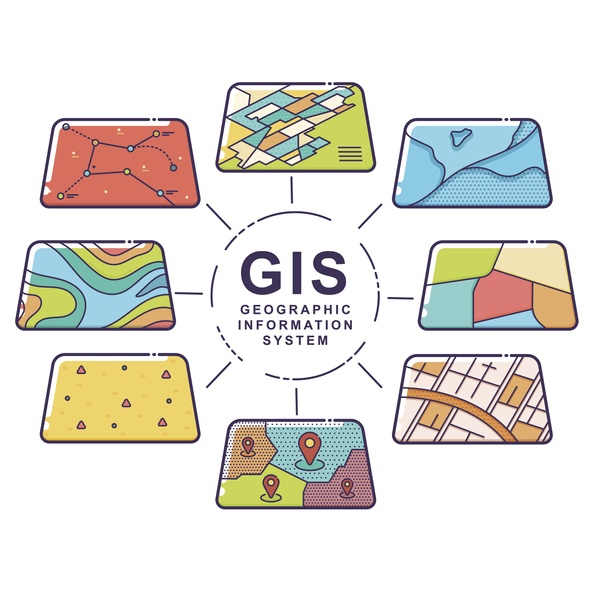 GIS analysts solve problems like:
- How many schools are within one mile of the bus stop using buffer analysis?
- What areas is the cellular service the strongest using line-of-sight analysis?
- What are the different types of vegetation in an area using NDVI classification of satellite imagery?
- How walkable is a neighborhood using street network analysis?
- Where are areas of high crime based on hot spot analysis?
GIS analysts aren’t just behind the scenes preparing data. Using excellent written and verbal communication skills, GIS analysts then explain geographic trends and findings from their analyses to clients.
Typical Duties Involved in GIS Analysis
- Translate Paper Maps into GIS Data Sets
They produce digital maps showing the spatial distribution of various kinds of data, including data like crime statistics and hospital locations. To do so, they create “shapefiles” to merge topographical data with external data by layering external data over a topographical map.
- Maintain Geographical Library
This involves managing an array of digital maps from various file types.
- Analyze Data for Reports or Presentations
This requires creating programs that convert GIS information from one format to another. They also develop tools for loading or transferring data between different systems.
- Study Mathematical Styles to Determine Trends Using Spatial Mapping Software
They use tools to integrate different GIS data sets together to create new information or to recognize patterns.
- Develop Mapping Applications and Tools
They construct internet apps and tools in order to present user-friendly GIS datanon the corporate websites of their clients.
GIS Analyst Education
To become a GIS analyst, a bachelor’s degree in in computer science, geography, surveying, engineering or another related field is required. Other possible majors include urban or regional planning, environmental science, forestry and resource management. A master’s degree may add a competitive edge to a GIS analyst’s job search.
In addition to receiving a college degree in a related field, consider reputable certification programs. It can be beneficial to pass certification exams while still enrolled in a bachelor’s degree program. For example, the American Society for Photogrammetry and Remote Sensing (ASPRS) offers provisional certification to students who pass its written exam but do not have the requisite experience. They can later gain full certification after establishing themselves in the field.
Two Certification Options:
- A “Certificate” in GIS
To obtain a certificate in GIS, a short series of GIS related courses from an educational institute is obligatory. The institute offers the participant a piece of paper acknowledging competition of the course. Although a certificate in GIS is not a degree, some employers might accept a certificate in GIS in lieu of a degree in a geography or GIS related major.
- A “Certification” in GIS
After taking an exam, a certification in GIS demonstrates a proficiency in one or more areas of GIS. The most well-known is the the GISP, offered by the GIS Certification Institute (GISCI) or ASPRS.
Job Outlook and Salary of a GIS Analyst
Between 2019 and 2029, job opportunities are expected to decline by 1 percent. This may be particularly due to budget constraints at the federal government level. However, government and business alike will continue to use GIS analysts to examine population distribution and land use for infrastructure planning and development. According to the Bureau of Labor Statistics, “those with master’s degrees, specialized subject matter expertise, and experience working with geographic technologies, such as Geographic Information Systems (GIS), should have the best job prospects” (out of all geographer jobs).
The median annual wage for GIS analysts was $81,540 in May 2019. The lowest 10 percent earned less than $52,280, and the highest 10 percent earned more than $113,140. Jobs with the federal government are the most lucrative, whereas jobs with the state government are the least. Employment at an architectural or engineering firm earns only slightly less than those working for the federal government.